Over 400 kilometres above us in the heavens, Tom and Jerry chased each other for years. One of them always out in front, the other in hot pursuit at a varying distance. “We named the two satellites after the cartoon characters, who are always chasing but never catch each other,” says Torsten Mayer-Gürr with a grin. He is sitting in his tidy office in Steyrergasse – on the cabinet behind him is a poster of two fridge-shaped satellites with the caption ‘Tom and Jerry’, which is waiting to be hung on the wall. The robust-looking flying objects on the poster are the scientist’s measuring devices. Or rather, they were for 15 years until they burned up on re-entry into the Earth’s atmosphere a couple of years ago after their mission had been completed. While in operation, the twin satellites collected valuable data, which provided important information for scientists working on topics such as climate change.
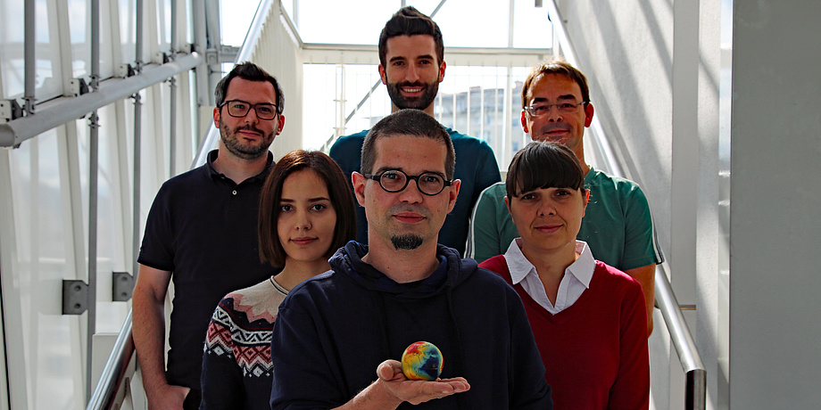
How the scientists make it possible for people to gain better insights into the dynamic Earth system explains Torsten Mayer-Gürr, reasearcher at TU Graz´s Institute of Geodesy and head of the working group Theoretical Geodesy and Satelite Geodesy for the TU Graz online News+Stories.
Switch to the Planet Research article to read more about the GRACE mission.
